


Got some old maps you would love to have transformed into useable geospatial data?
We can digitize your old hand drawn maps – not just trace the lines, but do the deep research to make certain that the map data depicts as closely as possible, what the person who made the map intended.
We can convert your non-spatial information into usable geospatial data.


We can transform your information into a new level of understanding.
Envisioning your information geographically brings a multi-dimensional potential to your understanding.
Our geodata services include, but are not limited to the following:
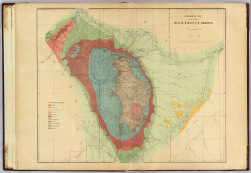
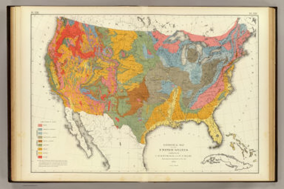
Digital Transformation of Paper Maps into Geodata
Often digitizing old paper maps into usable geodatabases is not just a click-click-click effort. Many times, research is required, especially of older maps, to understand the content and the context from when the map was made. Most often, arduous efforts produced the old maps – it would be disrespectful to the original surveyors and mappers to not thoroughly understand their work ahead of transforming it. We consider these to be works of art and treat these projects with that in mind.

Conversion of Spreadsheets, Documents, and other Data Sources into Geodata
Converting spreadsheets, text files, documents, and other information types may be advertised as “push-button”, yet, without care and a lot of quality-checking and control, the attributes may not end up where they should be. We take pains to make certain that what goes into these efforts yields the best results. We pay particular attention to organization of data tables such that they are related as needed by either utilizing standard models or building one that meets your requirements.


Geodetically Rectifying Imagery and Vector Data
Geo-rectification is a painstaking effort. Often, especially scanned images or other raster-type data is skewed due to multiple reproductions and scans. We treat every data set with great care and utilize our great sources of base-maps to align to the proper coordinate systems. We have experts available to help with making certain your information is where it should be in the end results.
We can QC, correct, and validate existing data by doing meticulous background research and working with a variety of workflows to update your data to “as good as it gets”.


Data Modeling and Integration to Produce Effective Geodata Transformations
Data modeling for geospatial is an art as well as a science. Geo-design principles of modeling geospatial information often involve working with the right stakeholders to enable the best outcomes. We approach the creation of new data models in just that way. Data integration is also one area where there is a lot of “people perspective” behind the designs. We work collaboratively to produce the most effective results in our geodata models and ETL designs for spatializing your non-spatial information.

No GIS People in Your Organization?
Making maps is our passion. Mapmakers have been in our family since 1917.